Banff National Park, Alberta, Canada
July 2001
The fourth day of the trip was by far the most challenging -- 56 miles total and a 1400 ft of elevation gain over the Sunwapta Pass. Nearly everyone went for it, which they said was unusual for a Backroads group.
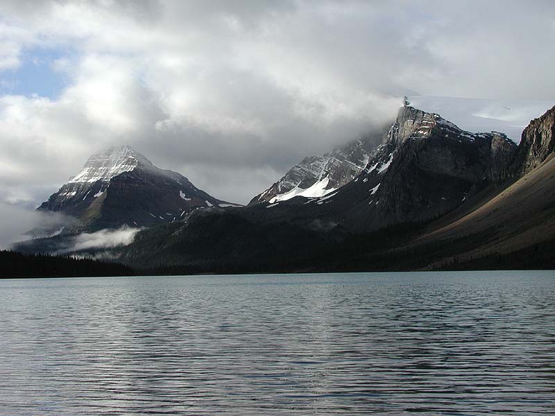
The sun peeked out the next morning, offering us our first views of the beautiful peaks surrounding Bow Lake.
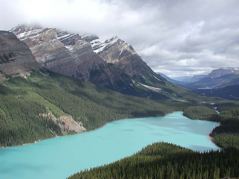
The first part of our ride climbed up to this view of Peyto Lake.
The view downstream of Peyto Lake.
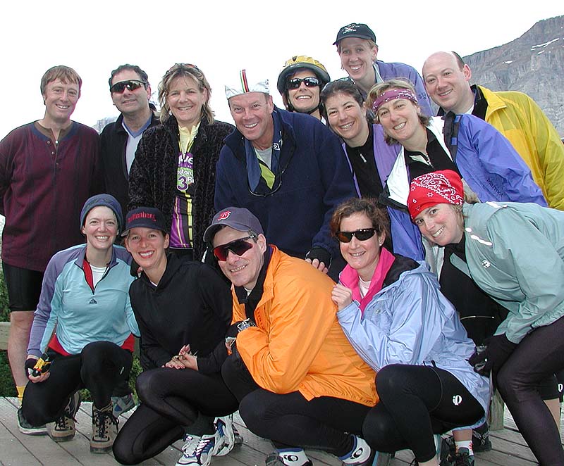
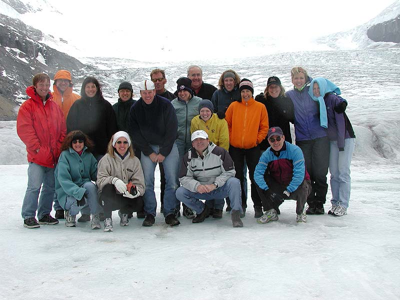
We were inspired by all the tourists taking pictures of each other to take a few of our own. Top row, here are yours truly, Rick, Laurie, Andrew, Jeri, Debra, Sara, Roz, and Joe. Bottom row, we have Lisa, Mary Jo, Bill, Jane, and Liz.
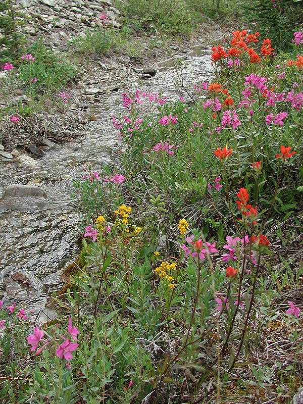
Mid-July to mid-August is the growing season from wildflowers in Banff National Park. We saw many varieties, such as these, decorating the roadside. The red-orange are Indian Paintbrush, I think the magenta ones are Fireweed, and I'm guessing the yellow is wild mustard.
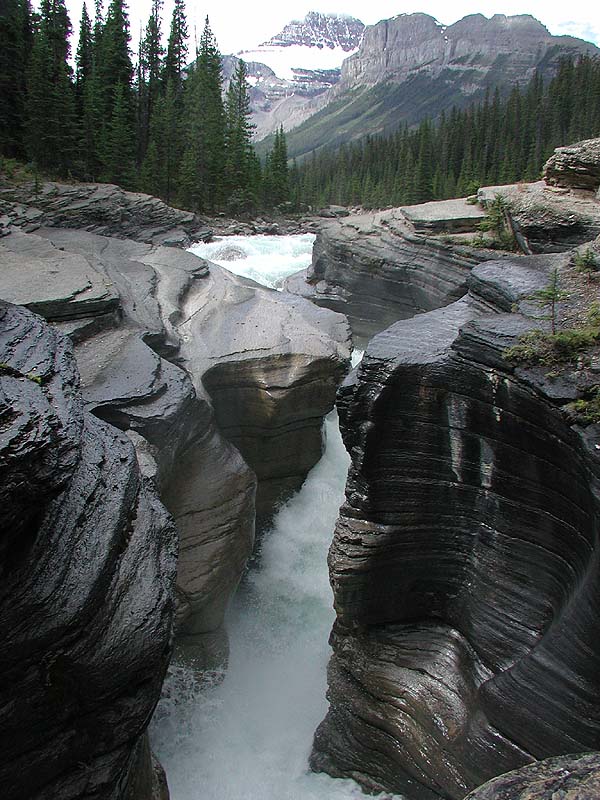
Another stop I went nuts for was Mistaya Canyon, another river gorge surrounded by these incredible mountains.
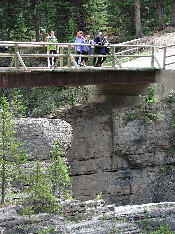
Some of our group taking in the scenery.
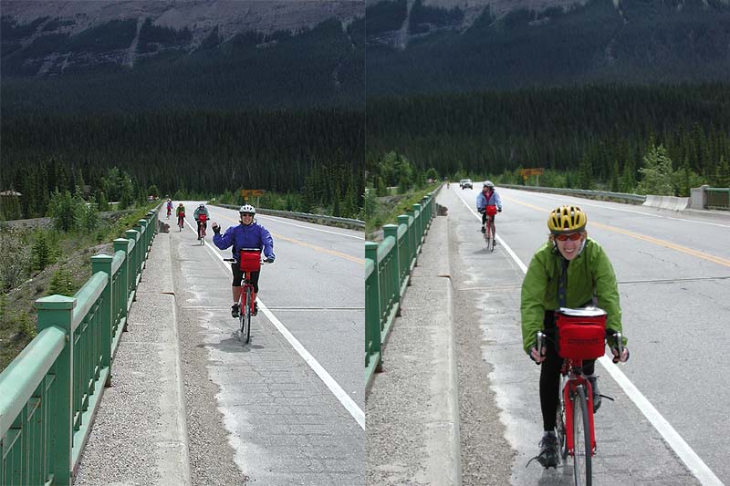
Backroaders on bikes.
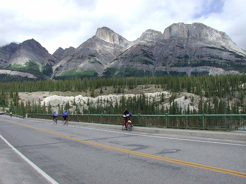
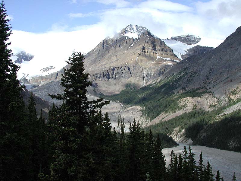
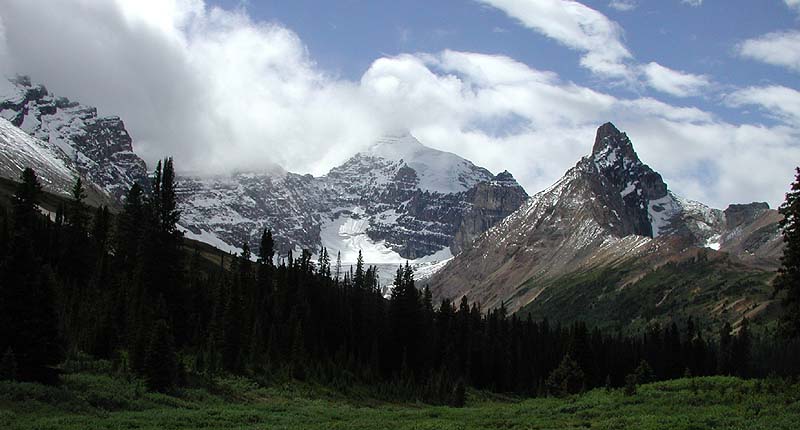
The Canadian Rockies was our backdrop.
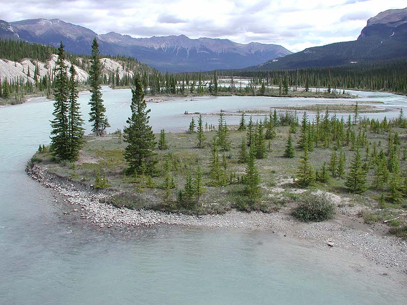
The Saskatchewan River winding its way through the same-named valley.
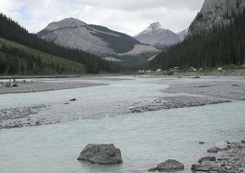
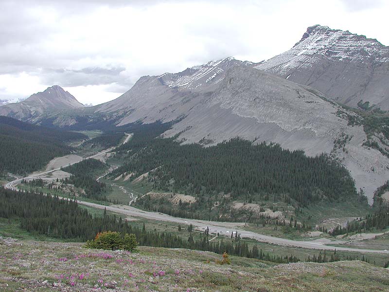
In the far distance you may just make out the Sunwapta Pass we climbed that day -- the hardest (and coldest) ride of the week. The cars parked along the roadway were there because of a grizzly bear, which was foraging on the other side of the river.
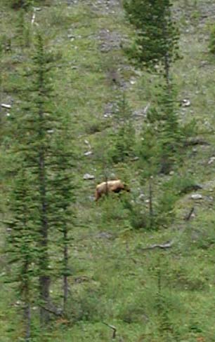
This is the best picture I got of Mr. Bear on the far bank, and probably as close as I wanted to be, anyway.
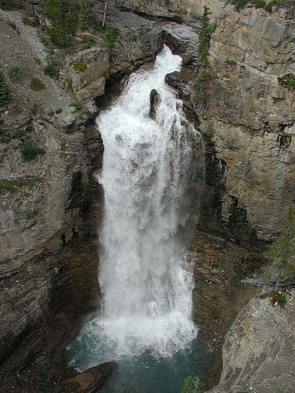
This amazing waterfall went right under one of the highway bridges.
This shot was taken near the top of the pass, and I stopped here for lunch and hiked up to Parker Ridge, which is off to the left of this image.
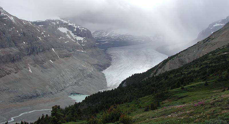
This is the view I had of the Saskatchewan Glacier from the ridge. It's hard to tell at a distance, but this glacier is 10 km long.
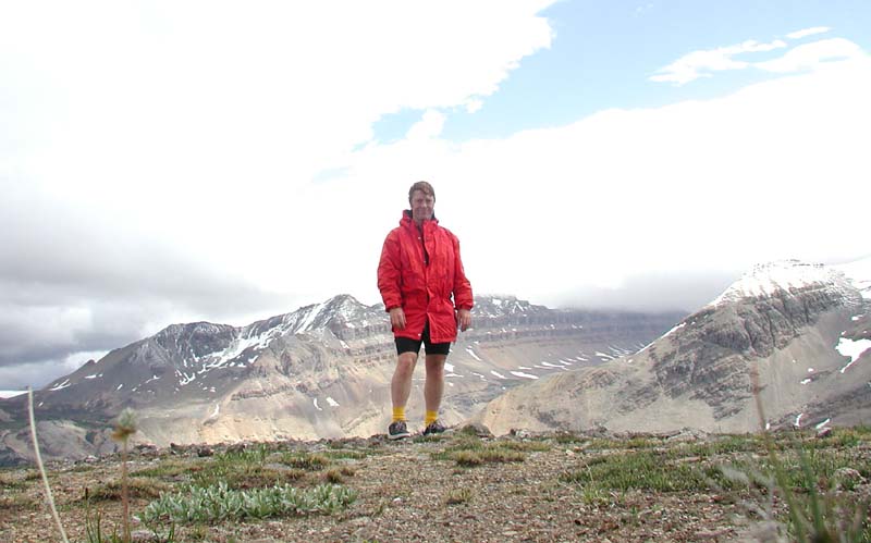
No one else was foolish enough to hike up with me, so I had a rock take this picture using the timer mode.
A view of the pass, with the parking lot down below where I started the hike. It was cold.
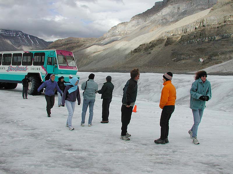
That night was spent at the Icefields Chalet just below the Athabasca Glacier. Before dinner, we got to ride up and walk out on the glacier -- a short-lived pleasure for most of the group.
After this picture was taken, all but a few of us jumped back on the bus to get warm.
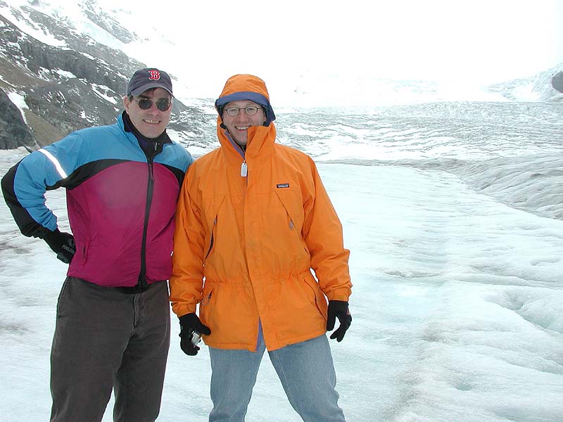
Bill, Joe, and I took a little wander until the bus driver honked the horn to call us back. The others were eager to get back to a warm dinner. (Click here see a video of Bill and Joe drinking glacial melt.)
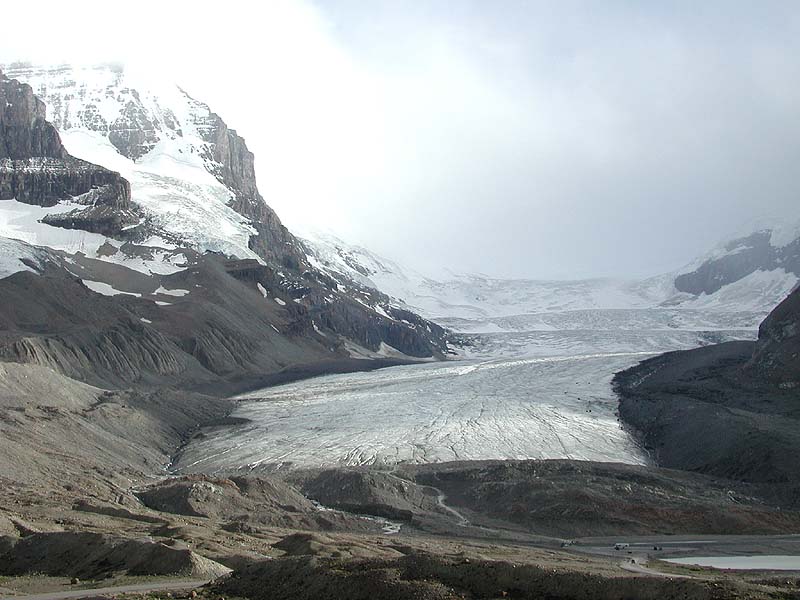
Here is a better view of the 6 km-long glacier from the inn.
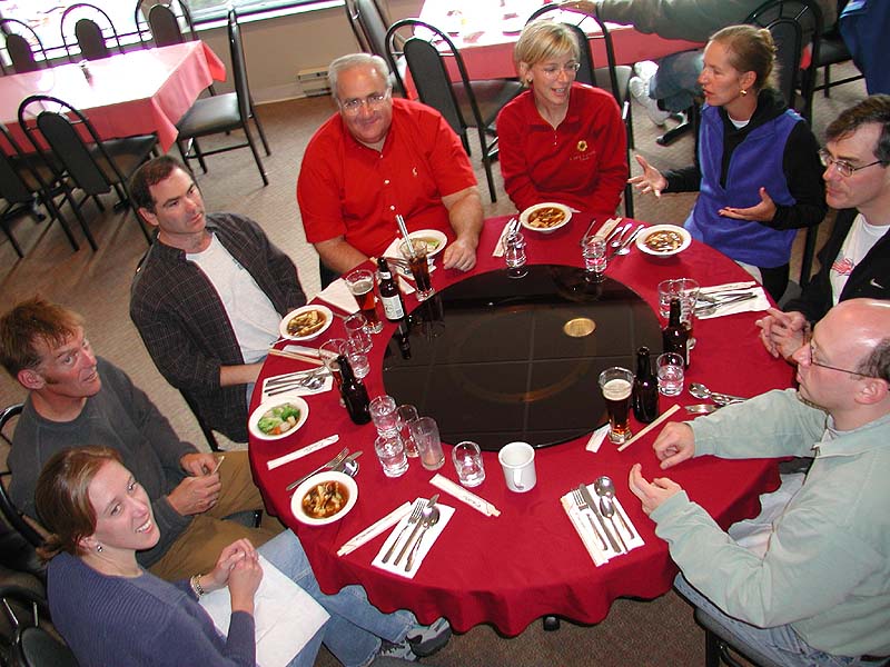
Dinner was Chinese, and we all shared. Kara missed dinner because she was out running errands for us -- typical!
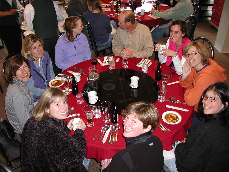
This was the other table.